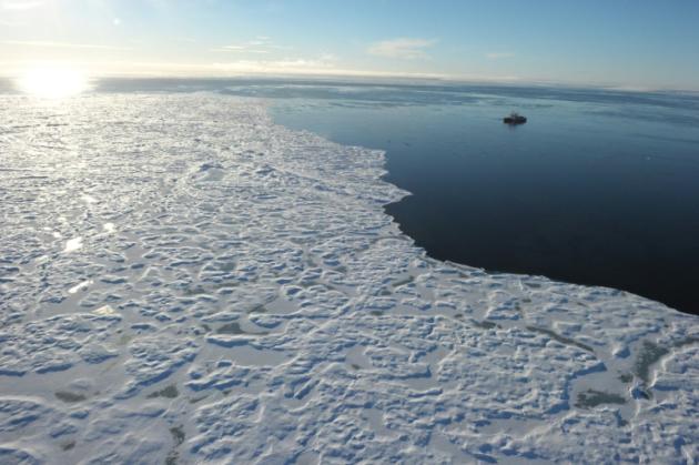
The North Pole is abnormally low on Wednesday with temperatures between 0 and 2 degrees Celsius higher by at least 20 degrees above seasonal norms, because of a "powerful and violent" depression that affects the North Atlantic, depending on services Canadian weather.
After knowing in eastern Canada a Christmas unusually hot (15.9 degrees Celsius on December 24 in Montreal for often averages close to -10 degrees usually), this depression has won the North Atlantic Ocean.
She is currently centered on Iceland, making it drop the pressure of the air at 928 hectopascals and resulting winds 140 km / h and waves of 15 meters high.
"This is an extremely powerful and extremely violent depression, so it's not surprising that the warm temperatures are pushed so far north and high winds affect England" where the army was mobilized against weather, a told AFP Natalie Hasell, meteorologist at the Canadian Ministry of the Environment.
"This deep depression advancing warm air to the North Pole, where temperatures are at least greater than 20 degrees C compared to the normal" lying "around the freezing point 0, 1 and 2 degrees "added the specialist in extreme weather events.
US scientists from the North Pole Environmental Observatory (NPEO) found that the mercury had climbed sharply the past two days, from -37 ° C Monday at -8 ° C Wednesday on a tag in the Arctic about 300 km from the North Pole, told AFP James Morison, a researcher at NPEO.
The Arctic is the region most affected by global warming globe, now with higher temperatures of three degrees minimum compared to pre-industrial times, according to international institutes. The snowfalls are more frequent there, strongest winds and the sea ice is in constant decline for over 30 years.
- El Niño -
It would be too early to link the mild temperatures observed at the end 2015 at the North Pole global warming, warned Mrs Hasell, noting that meteorologists based their conclusions did not "on one anomaly". Especially since the Canadian National Meteorology has no records of temperatures on the roof of the Earth, she said.
However, "it's really weird to have temperatures around 0 in late December at the North Pole," she noted, stressing that depression, with warmer temperatures would move in the coming days to the Siberia in northern Russia.
Capital of Inuit territory of Nunavut, northeast of Canada under the Arctic Circle, Iqaluit recorded at Christmas temperatures of -4.6 ° C and -4.9 ° C, -21 ° C against average of never seen again. Baffin Island, on which is Iqaluit, even experienced rains in December, said David Phillips, meteorologist at the Canadian Ministry of the Environment.
"This is probably El Niño who ventures to the North," said he told AFP about this weather phenomenon that occurs every four to seven years on average. Caused by a change in direction of the trade winds over the equatorial Pacific Ocean, El Niño episode in 2015 knows probably the most powerful in the last 100 years. Coupled with global warming, it generated extreme weather events such as floods, tornadoes, heat waves.
Aucun commentaire:
Enregistrer un commentaire